India being a more than 5000 years old country has a plethora of cultural and historical building structures. However, we have only 2D maps available from PWD for buildings that too only for the buildings that came up in the last century or so. Most of Historical monuments/buildings do not even have any such records. In case of emergencies like terrorist attacks, gas explosions, fires, mishaps, natural disasters etc. it becomes a very difficult task for our forces and rescue teams to get into buildings in effective way to support the hostages. Most of the times when there have been accidents or terrorist attacks like TAJ Palace in Mumbai, lot of precious time was lost to decide about the entry and evacuation points because the forces were not having a proper layout plans/3D Scan available with them.
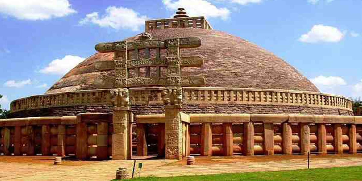
3D scanning of the buildings provides the actual view inside the building, doors, passages and entry/exit points. The historical/heritage building once damaged due to natural decay or manmade catastrophes cannot be reconstructed to its original shape/glory unless its 3D scan is available. Because the obvious advantages of laser scanning like: non contact measurement, high accuracy, long range, fast data acquisition etc. Other disciplines like cultural heritage, architecture, urban development, forensics and the entertainment industry are starting to steadily adopt this technology and store 3D scans of each and every monument/heritage buildings.
Highly advanced technology of 3D laser scanning provides integrated digital tools to make all Heritage monuments and structures imagery in 3D scans a long lasting surveying and site conservation, accurate to the last detail and easy to handle.